
Mulaló topographic map
Interactive map
Click on the map to display elevation.
About this map
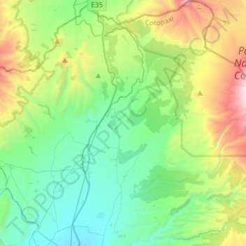
Name: Mulaló topographic map, elevation, terrain.
Location: Mulaló, Latacunga, Cotopaxi, Ecuador (-0.83377 -78.62311 -0.59284 -78.38093)
Average elevation: 11,253 ft
Minimum elevation: 9,446 ft
Maximum elevation: 16,070 ft
Other topographic maps
Click on a map to view its topography, its elevation and its terrain.