
Thank you for supporting this site ❤️
Make a donation
Make a donation
Gear up for your next adventure:
As an Amazon Associate, this site earns from qualifying purchases at no extra cost to you.
Ulldemolins topographic map
Click on the map to display elevation.
Thank you for supporting this site ❤️
Make a donation
Make a donation
Gear up for your next adventure:
As an Amazon Associate, this site earns from qualifying purchases at no extra cost to you.
About this map
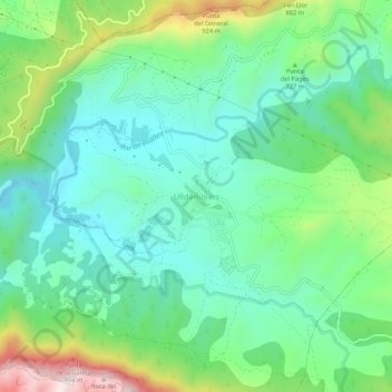
Name: Ulldemolins topographic map, elevation, terrain.
Location: Ulldemolins, Priorato, Tarragona, Cataluña, 43363, España (41.30229 0.85614 41.34229 0.89614)
Average elevation: 2,267 ft
Minimum elevation: 1,781 ft
Maximum elevation: 3,461 ft
Thank you for supporting this site ❤️
Make a donation
Make a donation
Gear up for your next adventure:
As an Amazon Associate, this site earns from qualifying purchases at no extra cost to you.