Geolocate

Solway topographic map

Click on the map to display elevation.

About this map

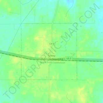
Name: Solway topographic map, elevation, terrain.

Location: Solway, Beltrami County, Minnesota, United States (47.51356 -95.14117 47.52842 -95.11934)

Average elevation: 1,444 ft

Minimum elevation: 1,414 ft

Maximum elevation: 1,463 ft

Beltrami County trails, hiking, mountain biking, running and outdoor activities

Gear up for your next adventure:

🌲Outdoor Survival Books - Best books on survival skills
🥘Titanium Cookware - Durable, featherlight pots and pans for backpacking
🎒Gear Packing Cubes - Organize your backpack efficiently
😴Insulated Sleeping Pads - Compact and warm pads for high-elevation camping
🪶Multi‑Purpose Knife - Useful blade for camp and trail

As an Amazon Associate, this site earns from qualifying purchases at no extra cost to you.