Geolocate

Pioneer topographic map

Click on the map to display elevation.

About this map

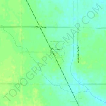
Name: Pioneer topographic map, elevation, terrain.

Location: Pioneer, Humboldt County, Iowa, United States (42.65002 -94.39351 42.65603 -94.38851)

Average elevation: 1,184 ft

Minimum elevation: 1,161 ft

Maximum elevation: 1,204 ft

Humboldt County trails, hiking, mountain biking, running and outdoor activities

Gear up for your next adventure:

🪶Thermal Camp Blanket - Extra warmth for cold nights
🔊Portable Camp Speaker - Music and alerts at camp
🧥Waterproof Jacket for Hiking - Breathable and rugged rain jacket for outdoor excursions
🪵Folding Camp Saw - Compact saw for wood and campsite work
🛰️Satellite Messengers - Emergency SOS and two-way messaging for off-grid adventures

As an Amazon Associate, this site earns from qualifying purchases at no extra cost to you.