
Ely topographic map
Click on the map to display elevation.
About this map
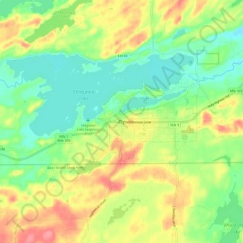
Name: Ely topographic map, elevation, terrain.
Location: Ely, Saint Louis County, Minnesota, 55731, United States (47.86334 -91.90710 47.94334 -91.82710)
Average elevation: 1,421 ft
Minimum elevation: 1,309 ft
Maximum elevation: 1,578 ft