
Hunter–Fryingpan Wilderness Area topographic map
Interactive map
Click on the map to display elevation.
About this map
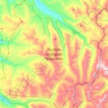
Name: Hunter–Fryingpan Wilderness Area topographic map, elevation, terrain.
Average elevation: 11,175 ft
Minimum elevation: 8,445 ft
Maximum elevation: 14,400 ft
Other topographic maps
Click on a map to view its topography, its elevation and its terrain.