
Snafu Lake topographic map
Interactive map
Click on the map to display elevation.
About this map
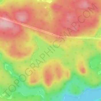
Name: Snafu Lake topographic map, elevation, terrain.
Location: Snafu Lake, Blind River, Algoma District, Ontario, Canada (46.44741 -82.98191 46.45471 -82.96852)
Average elevation: 1,089 ft
Minimum elevation: 764 ft
Maximum elevation: 1,322 ft