
Dorothy topographic map
Interactive map
Click on the map to display elevation.
About this map
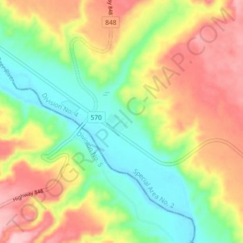
Name: Dorothy topographic map, elevation, terrain.
Location: Dorothy, Special Area No. 2, Alberta, Canada (51.26115 -112.34073 51.30115 -112.30073)
Average elevation: 2,425 ft
Minimum elevation: 2,172 ft
Maximum elevation: 2,726 ft