
Hunter's Creek topographic map
Interactive map
Click on the map to display elevation.
About this map
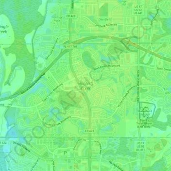
Name: Hunter's Creek topographic map, elevation, terrain.
Location: Hunter's Creek, Orange County, Florida, United States (28.34785 -81.45793 28.37642 -81.40468)
Average elevation: 92 ft
Minimum elevation: 66 ft
Maximum elevation: 102 ft
Orange County trails, hiking, mountain biking, running and outdoor activities