Geolocate

Cagbigajo topographic map

Click on the map to display elevation.

About this map

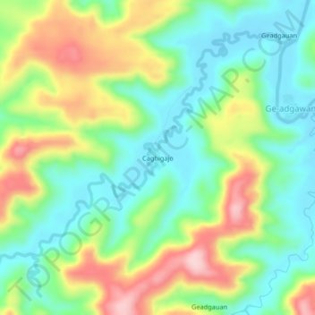
Name: Cagbigajo topographic map, elevation, terrain.

Location: Cagbigajo, Northern Samar, Eastern Visayas, Philippines (12.39898 124.88995 12.43898 124.92995)

Average elevation: 302 ft

Minimum elevation: 23 ft

Maximum elevation: 781 ft

Other topographic maps

Click on a map to view its topography, its elevation and its terrain.

Tarnate

Philippines > Northern Samar > San Vicente

Average elevation: 92 ft

Pambujan River

Philippines > Northern Samar

Average elevation: 180 ft

Gear up for your next adventure:

📌Outdoor GPS Map App - Apps and devices for digital topographic navigation
🎒Day Hiking Backpack - Lightweight backpack perfect for day trips and outdoor adventures
🩳Quick‑Dry Hiking Shorts - Comfortable and quick‑dry shorts for summer hiking
🗻Climbing Gear Basics - Essential gear for beginner climbers
🗃️Trail First Aid Kit - Essential kit for outdoor injuries and emergencies

As an Amazon Associate, this site earns from qualifying purchases at no extra cost to you.