
Gilimanuk topographic map
Interactive map
Click on the map to display elevation.
About this map
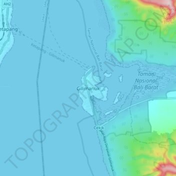
Name: Gilimanuk topographic map, elevation, terrain.
Location: Gilimanuk, Jembrana, Bali, 82253, Indonesia (-8.21077 114.39616 -8.13077 114.47616)
Average elevation: 75 ft
Minimum elevation: 0 ft
Maximum elevation: 1,050 ft