
Cerro Prieto topographic map
Click on the map to display elevation.
About this map
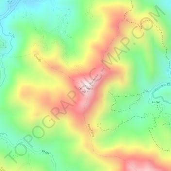
Name: Cerro Prieto topographic map, elevation, terrain.
Location: Cerro Prieto, Utuado, Puerto Rico, United States (18.19713 -66.66300 18.19723 -66.66290)
Average elevation: 2,133 ft
Minimum elevation: 1,391 ft
Maximum elevation: 2,976 ft
Puerto Rico trails, hiking, mountain biking, running and outdoor activities