
Encinal topographic map
Interactive map
Click on the map to display elevation.
About this map
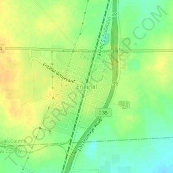
Name: Encinal topographic map, elevation, terrain.
Location: Encinal, La Salle County, Texas, United States (28.03392 -99.36133 28.04742 -99.34992)
Average elevation: 558 ft
Minimum elevation: 509 ft
Maximum elevation: 594 ft
Other topographic maps
Click on a map to view its topography, its elevation and its terrain.
Cotulla
United States > Texas > La Salle County
Cotulla, La Salle County, Texas, United States
Average elevation: 420 ft