
Ragunda kommun topographic map
Interactive map
Click on the map to display elevation.
About this map
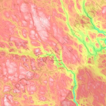
Name: Ragunda kommun topographic map, elevation, terrain.
Location: Ragunda kommun, Jämtland County, Sweden (62.80849 15.22126 63.51481 16.99870)
Average elevation: 1,033 ft
Minimum elevation: 82 ft
Maximum elevation: 1,873 ft
Other topographic maps
Click on a map to view its topography, its elevation and its terrain.
Lofsdalen
Lofsdalen, Härjedalens kommun, Jämtland County, 840 85, Sweden
Average elevation: 2,205 ft
Lillhärdal
Lillhärdal, Lillhärdal distrikt, Härjedalens kommun, Jämtland County, Sweden
Average elevation: 1,506 ft
Östersund
Östersund, Östersunds kommun, Jämtland County, 831 86, Sweden
Average elevation: 1,119 ft
Lill-Rånddalen
Lill-Rånddalen, Sörhålla Vägen, Härjedalens kommun, Jämtland County, Sweden
Average elevation: 1,985 ft