
Thank you for supporting this site ❤️
Make a donation
Make a donation
Gear up for your next adventure:
As an Amazon Associate, this site earns from qualifying purchases at no extra cost to you.
Bapukeli topographic map
Click on the map to display elevation.
Thank you for supporting this site ❤️
Make a donation
Make a donation
Gear up for your next adventure:
As an Amazon Associate, this site earns from qualifying purchases at no extra cost to you.
About this map
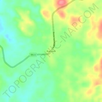
Name: Bapukeli topographic map, elevation, terrain.
Location: Bapukeli, Mambasa, Ituri, Democratic Republic of the Congo (1.37067 28.59620 1.41067 28.63620)
Average elevation: 2,562 ft
Minimum elevation: 2,454 ft
Maximum elevation: 2,723 ft
Thank you for supporting this site ❤️
Make a donation
Make a donation
Gear up for your next adventure:
As an Amazon Associate, this site earns from qualifying purchases at no extra cost to you.