
Thank you for supporting this site ❤️
Make a donation
Make a donation
Gear up for your next adventure:
As an Amazon Associate, this site earns from qualifying purchases at no extra cost to you.
Kharlekh topographic map
Click on the map to display elevation.
Thank you for supporting this site ❤️
Make a donation
Make a donation
Gear up for your next adventure:
As an Amazon Associate, this site earns from qualifying purchases at no extra cost to you.
About this map
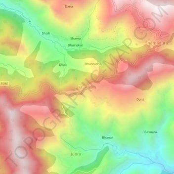
Name: Kharlekh topographic map, elevation, terrain.
Location: Kharlekh, Kapkot, Bageshwar, Uttarakhand, 263633, India (29.94325 80.00934 29.98325 80.04934)
Average elevation: 6,112 ft
Minimum elevation: 4,272 ft
Maximum elevation: 7,713 ft
Thank you for supporting this site ❤️
Make a donation
Make a donation
Gear up for your next adventure:
As an Amazon Associate, this site earns from qualifying purchases at no extra cost to you.