
Sulima topographic map
Interactive map
Click on the map to display elevation.
About this map
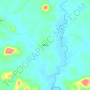
Name: Sulima topographic map, elevation, terrain.
Location: Sulima, Kono District, Eastern Province, Sierra Leone (8.87797 -10.91026 8.91797 -10.87026)
Average elevation: 1,345 ft
Minimum elevation: 1,283 ft
Maximum elevation: 1,637 ft