
Thank you for supporting this site ❤️
Make a donation
Make a donation
Gear up for your next adventure:
As an Amazon Associate, this site earns from qualifying purchases at no extra cost to you.
Beopheung-ri topographic map
Click on the map to display elevation.
Thank you for supporting this site ❤️
Make a donation
Make a donation
Gear up for your next adventure:
As an Amazon Associate, this site earns from qualifying purchases at no extra cost to you.
About this map
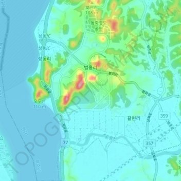
Name: Beopheung-ri topographic map, elevation, terrain.
Location: Beopheung-ri, Tanhyeon-myeon, Paju-si, Gyeonggi, South Korea (37.74657 126.66911 37.80214 126.72297)
Average elevation: 66 ft
Minimum elevation: 0 ft
Maximum elevation: 472 ft
Thank you for supporting this site ❤️
Make a donation
Make a donation
Gear up for your next adventure:
As an Amazon Associate, this site earns from qualifying purchases at no extra cost to you.