Geolocate

Mergo topographic map

Click on the map to display elevation.

About this map

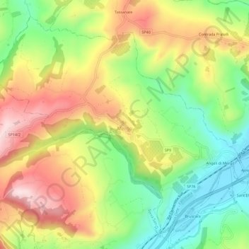
Name: Mergo topographic map, elevation, terrain.

Location: Mergo, Ancona, Marche, Italia (43.45538 13.00714 43.49056 13.06310)

Average elevation: 991 ft

Minimum elevation: 433 ft

Maximum elevation: 1,631 ft

Gear up for your next adventure:

🎒Waterproof Dry Bags - Keep your electronics and maps dry inside your pack
Camping Coffee Makers - Enjoy premium coffee at the summit or campsite
🧭Map Reading Tools - Tools and kits for map navigation
🏕️Family Camping Gear - Essentials for group camping trips
🗺️Topographic Maps - Detailed topo maps for hiking, exploring and outdoor navigation

As an Amazon Associate, this site earns from qualifying purchases at no extra cost to you.