Geolocate

Duck topographic map

Click on the map to display elevation.

About this map

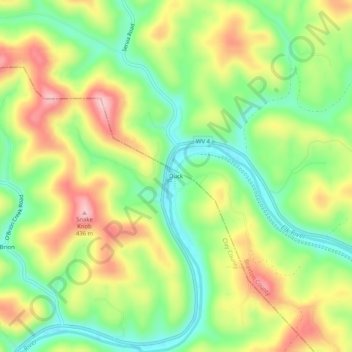
Name: Duck topographic map, elevation, terrain.

Location: Duck, Clay County, West Virginia, 25063, United States (38.56343 -80.95677 38.60343 -80.91677)

Average elevation: 1,030 ft

Minimum elevation: 732 ft

Maximum elevation: 1,414 ft

Clay County trails, hiking, mountain biking, running and outdoor activities

Gear up for your next adventure:

🔊Portable Camp Speaker - Music and alerts at camp
🦟Ultrasonic Repellers - Create a bug-free zone at your camp or rest stop
🧭Pro Hiking Compasses - High-accuracy liquid-filled compasses for topographic orientation
📻Weather Alert Radios - Stay informed of storm risks while off-the-grid
🧭Outdoor Navigation Book - Learn advanced navigation skills

As an Amazon Associate, this site earns from qualifying purchases at no extra cost to you.