
Beaufort Range topographic map
Interactive map
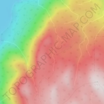
Click on the map to display elevation.
About this map
Name: Beaufort Range topographic map, elevation, terrain.
Average elevation: 2,126 ft
Minimum elevation: 446 ft
Maximum elevation: 3,192 ft
Other topographic maps
Click on a map to view its topography, its elevation and its terrain.
Kwai Lake
Canada > British Columbia > Area C (Puntledge/Black Creek)
Kwai Lake, Area C (Puntledge/Black Creek), Comox Valley Regional District, British Columbia, Canada
Average elevation: 3,881 ft