Geolocate

Millpu topographic map

Interactive map

Click on the map to display elevation.

About this map

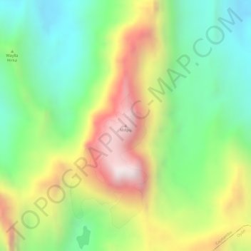
Name: Millpu topographic map, elevation, terrain.

Location: Millpu, Cajatambo, Lima, Perú (-10.46285 -76.85361 -10.46275 -76.85351)

Average elevation: 16,253 ft

Minimum elevation: 15,180 ft

Maximum elevation: 17,644 ft

Other topographic maps

Click on a map to view its topography, its elevation and its terrain.

Zona Reservada Cordillera Huayhuash

Perú > Lima > Cajatambo

Zona Reservada Cordillera Huayhuash, cutambo pass and siula grande view point, Cajatambo, Lima, Perú

Average elevation: 14,170 ft

Plaza de Armas

Perú > Lima > Cajatambo > Utcas

Plaza de Armas, Utcas, Cajatambo, Provincia de Cajatambo, Lima, Perú

Average elevation: 10,899 ft

Provincia de Cajatambo

Perú > Lima > Cajatambo

Provincia de Cajatambo, Cajatambo, Lima, Perú

Average elevation: 14,826 ft