
Djam topographic map
Interactive map
Click on the map to display elevation.
About this map
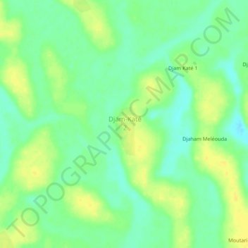
Name: Djam topographic map, elevation, terrain.
Location: Djam, Kanem, Tchad (13.64792 15.74892 13.68792 15.78892)
Average elevation: 955 ft
Minimum elevation: 919 ft
Maximum elevation: 988 ft
Other topographic maps
Click on a map to view its topography, its elevation and its terrain.