
Palmerola 2 topographic map
Interactive map
Click on the map to display elevation.
About this map
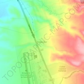
Name: Palmerola 2 topographic map, elevation, terrain.
Location: Palmerola 2, Comayagua, Honduras (14.37829 -87.63412 14.41829 -87.59412)
Average elevation: 2,103 ft
Minimum elevation: 1,880 ft
Maximum elevation: 2,356 ft
Other topographic maps
Click on a map to view its topography, its elevation and its terrain.
Villa Erna
Honduras > Comayagua > Comayagua
Villa Erna, Comayagua, Honduras
Average elevation: 1,985 ft
Río Humuya
Honduras > Comayagua > Comayagua
Río Humuya, Comayagua, Honduras
Average elevation: 3,455 ft