Geolocate

Jolfa topographic map

Click on the map to display elevation.

About this map

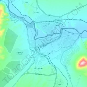
Name: Jolfa topographic map, elevation, terrain.

Location: Jolfa, دهستان شجاع, بخش مرکزی, Jolfa County, Iran (38.89761 45.58521 38.97761 45.66521)

Average elevation: 2,510 ft

Minimum elevation: 2,283 ft

Maximum elevation: 4,216 ft

Gear up for your next adventure:

😴Insulated Sleeping Pads - Compact and warm pads for high-elevation camping
📷Action Camera - Capture your outdoor adventures in HD
🛌Ultralight Sleeping Bags - Compact down bags for cold nights in the wilderness
🚁Photography Drones - Capture stunning aerial views of landforms and topography
Backpacking Tents - Weight-optimized shelters for multi-day topographic surveys

As an Amazon Associate, this site earns from qualifying purchases at no extra cost to you.