
Thank you for supporting this site ❤️
Make a donation
Make a donation
Gear up for your next adventure:
As an Amazon Associate, this site earns from qualifying purchases at no extra cost to you.
Siberië topographic map
Click on the map to display elevation.
Thank you for supporting this site ❤️
Make a donation
Make a donation
Gear up for your next adventure:
As an Amazon Associate, this site earns from qualifying purchases at no extra cost to you.
About this map
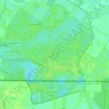
Name: Siberië topographic map, elevation, terrain.
Location: Siberië, Haaksbergen, Overijssel, Nederland, 7481 TX, Nederland (52.11521 6.77404 52.13521 6.79404)
Average elevation: 112 ft
Minimum elevation: 89 ft
Maximum elevation: 125 ft
Thank you for supporting this site ❤️
Make a donation
Make a donation
Gear up for your next adventure:
As an Amazon Associate, this site earns from qualifying purchases at no extra cost to you.