
Make a donation
Gear up for your next adventure:
As an Amazon Associate, this site earns from qualifying purchases at no extra cost to you.
Leslie topographic map
Click on the map to display elevation.
Make a donation
Gear up for your next adventure:
As an Amazon Associate, this site earns from qualifying purchases at no extra cost to you.
About this map
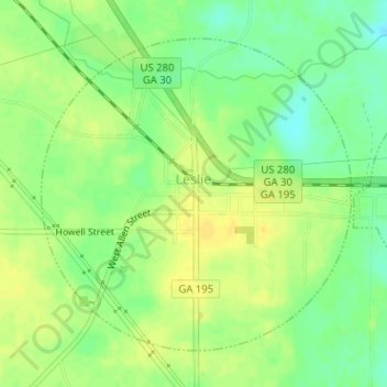
Name: Leslie topographic map, elevation, terrain.
Location: Leslie, Sumter County, Georgia, United States (31.94349 -84.09909 31.96529 -84.07358)
Average elevation: 335 ft
Minimum elevation: 289 ft
Maximum elevation: 367 ft
Sumter County trails, hiking, mountain biking, running and outdoor activities
Make a donation
Gear up for your next adventure:
As an Amazon Associate, this site earns from qualifying purchases at no extra cost to you.
Other topographic maps
Click on a map to view its topography, its elevation and its terrain.
Northside Homes
United States > Georgia > Sumter County > Americus > Northside Homes
Average elevation: 413 ft