
Vanderpool topographic map
Click on the map to display elevation.
About this map
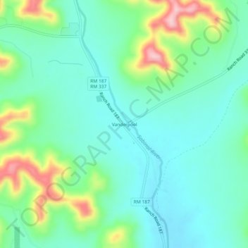
Name: Vanderpool topographic map, elevation, terrain.
Location: Vanderpool, Bandera County, Texas, 78885, United States (29.72403 -99.57473 29.76403 -99.53473)
Average elevation: 1,719 ft
Minimum elevation: 1,552 ft
Maximum elevation: 2,172 ft
Bandera County trails, hiking, mountain biking, running and outdoor activities
Other topographic maps
Click on a map to view its topography, its elevation and its terrain.