
Thank you for supporting this site ❤️
Make a donation
Make a donation
Gear up for your next adventure:
As an Amazon Associate, this site earns from qualifying purchases at no extra cost to you.
Uley topographic map
Click on the map to display elevation.
Thank you for supporting this site ❤️
Make a donation
Make a donation
Gear up for your next adventure:
As an Amazon Associate, this site earns from qualifying purchases at no extra cost to you.
About this map
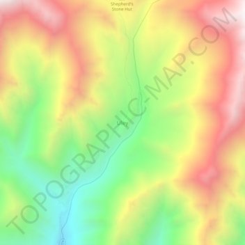
Name: Uley topographic map, elevation, terrain.
Location: Uley, Khalsi tehsil, Leh District, Ladakh, India (34.31373 77.11178 34.35373 77.15178)
Average elevation: 13,940 ft
Minimum elevation: 11,942 ft
Maximum elevation: 16,024 ft
Thank you for supporting this site ❤️
Make a donation
Make a donation
Gear up for your next adventure:
As an Amazon Associate, this site earns from qualifying purchases at no extra cost to you.