
Make a donation
Gear up for your next adventure:
As an Amazon Associate, this site earns from qualifying purchases at no extra cost to you.
Jerome topographic map
Click on the map to display elevation.
Make a donation
Gear up for your next adventure:
As an Amazon Associate, this site earns from qualifying purchases at no extra cost to you.
Jerome
Jerome is located at 42°43′29″N 114°31′3″W / 42.72472°N 114.51750°W / 42.72472; -114.51750 (42.724622, -114.517543), at an elevation of 3,763 feet (1,147 m) above sea level.
Make a donation
Gear up for your next adventure:
As an Amazon Associate, this site earns from qualifying purchases at no extra cost to you.
About this map
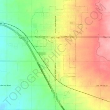
Name: Jerome topographic map, elevation, terrain.
Location: Jerome, Jerome County, Idaho, 83338, United States (42.68057 -114.53813 42.74591 -114.49236)
Average elevation: 3,740 ft
Minimum elevation: 3,570 ft
Maximum elevation: 3,934 ft
Jerome County trails, hiking, mountain biking, running and outdoor activities
Make a donation
Gear up for your next adventure:
As an Amazon Associate, this site earns from qualifying purchases at no extra cost to you.