
Thank you for supporting this site ❤️
Make a donation
Make a donation
Gear up for your next adventure:
As an Amazon Associate, this site earns from qualifying purchases at no extra cost to you.
Chembe topographic map
Click on the map to display elevation.
Thank you for supporting this site ❤️
Make a donation
Make a donation
Gear up for your next adventure:
As an Amazon Associate, this site earns from qualifying purchases at no extra cost to you.
About this map
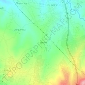
Name: Chembe topographic map, elevation, terrain.
Location: Chembe, Blantyre, Southern Region, Malawi, Malawi (-15.68920 34.98944 -15.64920 35.02944)
Average elevation: 2,536 ft
Minimum elevation: 2,365 ft
Maximum elevation: 2,844 ft
Thank you for supporting this site ❤️
Make a donation
Make a donation
Gear up for your next adventure:
As an Amazon Associate, this site earns from qualifying purchases at no extra cost to you.