Geolocate

Melpitz topographic map

Click on the map to display elevation.

About this map

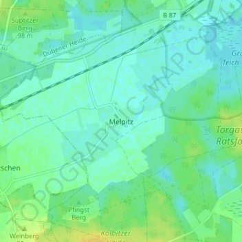
Name: Melpitz topographic map, elevation, terrain.

Location: Melpitz, Torgau, Nordsachsen, Saxony, 04860, Germany (51.50795 12.91808 51.54795 12.95808)

Average elevation: 292 ft

Minimum elevation: 272 ft

Maximum elevation: 335 ft

Gear up for your next adventure:

🥘Titanium Cookware - Durable, featherlight pots and pans for backpacking
🗺️Topographic Maps - Detailed topo maps for hiking, exploring and outdoor navigation
🪑Ultralight Camp Chairs - Portable seating for resting after a long day of mapping
📶Vehicle Signal Boosters - Improve reception in rural areas while driving to trailheads
🧥Waterproof Jacket for Hiking - Breathable and rugged rain jacket for outdoor excursions

As an Amazon Associate, this site earns from qualifying purchases at no extra cost to you.