
Thank you for supporting this site ❤️
Make a donation
Make a donation
Gear up for your next adventure:
As an Amazon Associate, this site earns from qualifying purchases at no extra cost to you.
Salutambun topographic map
Click on the map to display elevation.
Thank you for supporting this site ❤️
Make a donation
Make a donation
Gear up for your next adventure:
As an Amazon Associate, this site earns from qualifying purchases at no extra cost to you.
About this map
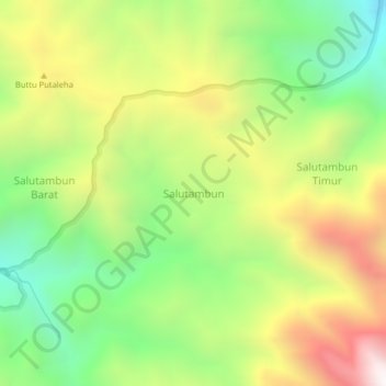
Name: Salutambun topographic map, elevation, terrain.
Location: Salutambun, Mamasa, West Sulawesi, Sulawesi, Indonesia (-2.83728 119.21902 -2.79728 119.25902)
Average elevation: 5,591 ft
Minimum elevation: 3,602 ft
Maximum elevation: 8,163 ft
Thank you for supporting this site ❤️
Make a donation
Make a donation
Gear up for your next adventure:
As an Amazon Associate, this site earns from qualifying purchases at no extra cost to you.