
Thank you for supporting this site ❤️
Make a donation
Make a donation
Gear up for your next adventure:
As an Amazon Associate, this site earns from qualifying purchases at no extra cost to you.
Dunghri topographic map
Click on the map to display elevation.
Thank you for supporting this site ❤️
Make a donation
Make a donation
Gear up for your next adventure:
As an Amazon Associate, this site earns from qualifying purchases at no extra cost to you.
About this map
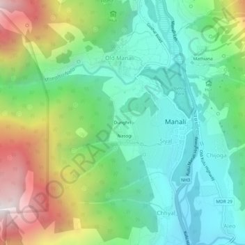
Name: Dunghri topographic map, elevation, terrain.
Location: Dunghri, Manali, Kullu, Himachal Pradesh, 175131, India (32.22536 77.15705 32.26536 77.19705)
Average elevation: 7,461 ft
Minimum elevation: 5,928 ft
Maximum elevation: 10,682 ft
Thank you for supporting this site ❤️
Make a donation
Make a donation
Gear up for your next adventure:
As an Amazon Associate, this site earns from qualifying purchases at no extra cost to you.