Indrasan topographic map
Click on the map to display elevation.
Indrasan
Mount Indrasan is located at an altitude of 6221 metres above sea level in Kullu district, Himachal Pradesh. Mt. Indrasan is considered as the most difficult mountain to climb in the Pir Panjal range of the Himalayas because of the challenges involved in scaling it. It was first climbed on October 13, 1962, by an expedition organized by Kyoto University Alpine Club, Kyoto, Japan.
About this map
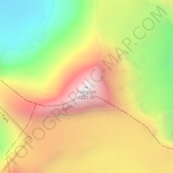
Name: Indrasan topographic map, elevation, terrain.
Location: Indrasan, Lahul, Lahaul and Spiti, Himachal Pradesh, India (32.21374 77.39639 32.21384 77.39649)
Average elevation: 17,631 ft
Minimum elevation: 14,852 ft
Maximum elevation: 20,305 ft
Other topographic maps
Click on a map to view its topography, its elevation and its terrain.