Geolocate

Pinatuad topographic map

Click on the map to display elevation.

About this map

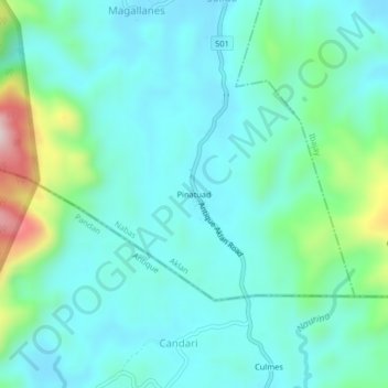
Name: Pinatuad topographic map, elevation, terrain.

Location: Pinatuad, Nabas, Aklan, Western Visayas, Philippines (11.77050 122.07110 11.81050 122.11110)

Average elevation: 322 ft

Minimum elevation: 36 ft

Maximum elevation: 1,473 ft

Other topographic maps

Click on a map to view its topography, its elevation and its terrain.

Poblacion Park

Philippines > Aklan > Nabas

Average elevation: 16 ft

Gear up for your next adventure:

🔥Camping Stove - Portable stove for camping and backcountry cooking
🏕️Tent Footprint - Protect your tent base from wear
🧭Compass with Lanyard - Easy‑carry compass for navigation
👓Polarized Sunglasses - Outdoor sunglasses for glare reduction
📶Vehicle Signal Boosters - Improve reception in rural areas while driving to trailheads

As an Amazon Associate, this site earns from qualifying purchases at no extra cost to you.