Geolocate

Calongay topographic map

Click on the map to display elevation.

👉 Easily get elevation data in JSON, GeoTIFF and KML formats using Elevation API
Thank you for supporting this site ❤️
Make a donation

About this map

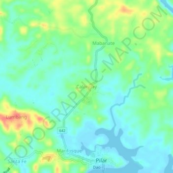
Name: Calongay topographic map, elevation, terrain.

Location: Calongay, Donsol, Sorsogon, Bicol Region, 4714, Philippines (12.92070 123.65187 12.96070 123.69187)

Average elevation: 59 ft

Minimum elevation: 0 ft

Maximum elevation: 184 ft

Gear up for your next adventure:

🪶Camp Gear Gift Set - Perfect gift bundle for outdoor fans
🔦Powerful Headlamps - Ultra-bright hands-free lighting for night navigation
🧣Hiking Neck Gaiter - Multi‑use neck protection for outdoor weather
🧥Men's Rain Shells - Premium waterproof and breathable jackets for mountain weather
🌧️Backpack Rain Cover - Keep gear dry in wet weather

As an Amazon Associate, this site earns from qualifying purchases at no extra cost to you.