Geolocate

Bodrovo topographic map

Click on the map to display elevation.

About this map

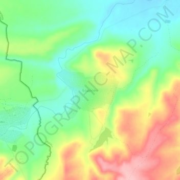
Name: Bodrovo topographic map, elevation, terrain.

Location: Bodrovo, Dimitrovgrad, Haskovo, 4288, Bulgaria (42.00401 25.30385 42.04401 25.34385)

Average elevation: 627 ft

Minimum elevation: 430 ft

Maximum elevation: 909 ft

Other topographic maps

Click on a map to view its topography, its elevation and its terrain.

Svilengrad

Bulgaria > Haskovo

Average elevation: 318 ft

Gear up for your next adventure:

🎒Hydration Pack - Hands‑free water reservoir for long hikes
🏕️Family Camping Gear - Essentials for group camping trips
🛌Ultralight Sleeping Bags - Compact down bags for cold nights in the wilderness
🏫Relief Map Kits - Hands-on tools for teaching landforms and elevation
🧢Outdoor Hiking Hat - Sun protection hat for outdoor explorers

As an Amazon Associate, this site earns from qualifying purchases at no extra cost to you.