
Auroville topographic map
Click on the map to display elevation.
Auroville
It is included in the sub-humid tropics (wet-and-dry tropical climate) situated on a plateau region with its maximum elevation of 32 m (105 ft) above sea level located in the Matrimandir area. The annual rainfall average is 1,200 mm (47 in) mainly from the SW monsoon (June to Sept.) and NE monsoon (Nov to Dec) with a dry period of approx 6 months. The average maximum temperature is 32.2 °C (90.0 °F), average minimum 20 °C (68 °F).
About this map
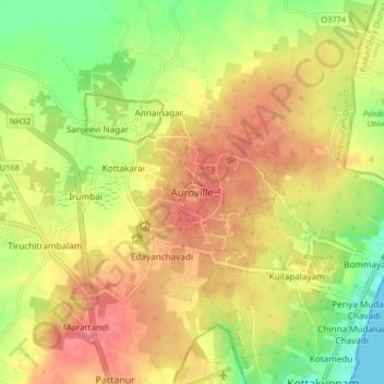
Name: Auroville topographic map, elevation, terrain.
Location: Auroville, Vanur, Viluppuram, Tamil Nadu, 605101, India (11.96739 79.76995 12.04739 79.84995)
Average elevation: 118 ft
Minimum elevation: 0 ft
Maximum elevation: 207 ft
Other topographic maps
Click on a map to view its topography, its elevation and its terrain.