
Greenacres topographic map
Click on the map to display elevation.
About this map
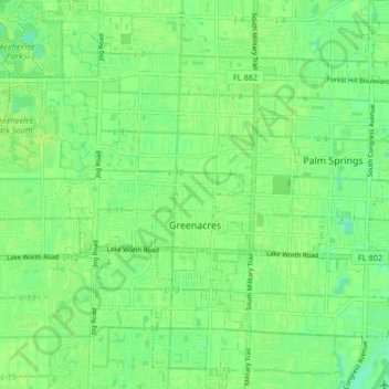
Name: Greenacres topographic map, elevation, terrain.
Location: Greenacres, Palm Beach County, Florida, 33413, United States (26.59261 -80.15765 26.66608 -80.11349)
Average elevation: 30 ft
Minimum elevation: 3 ft
Maximum elevation: 43 ft
Palm Beach County trails, hiking, mountain biking, running and outdoor activities
Other topographic maps
Click on a map to view its topography, its elevation and its terrain.
Delray Beach
United States > Florida > Palm Beach County > Delray Beach
Delray Beach has hot and humid summers. High summertime temperatures range from 87-93 °F with low temperatures around 75-78 °F. Winters are warm, with a marked drier season. Typical wintertime high temperatures are typically in the range of 74-83 °F and low temperatures 57-65 °F. However, when occasional…
Average elevation: 13 ft
Villages of Oriole
United States > Florida > Palm Beach County > Villages of Oriole
Average elevation: 30 ft
Oslo national park
United States > Florida > Palm Beach County > West Palm Beach
Average elevation: 30 ft