
Make a donation
Gear up for your next adventure:
As an Amazon Associate, this site earns from qualifying purchases at no extra cost to you.
Balmaceda topographic map
Click on the map to display elevation.
Make a donation
Gear up for your next adventure:
As an Amazon Associate, this site earns from qualifying purchases at no extra cost to you.
Balmaceda
Debido a la altitud de la localidad, esta es fría durante todo el año y las precipitaciones oscilan entre 400 y 700 mm anuales con caída de nieve durante el invierno. La temperatura mínima en invierno puede alcanzar hasta -25 °C y la máxima en verano puede alcanzar los 20 °C.
Make a donation
Gear up for your next adventure:
As an Amazon Associate, this site earns from qualifying purchases at no extra cost to you.
About this map
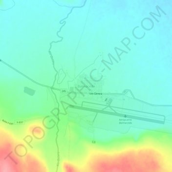
Name: Balmaceda topographic map, elevation, terrain.
Average elevation: 1,709 ft
Minimum elevation: 1,621 ft
Maximum elevation: 1,955 ft
Make a donation
Gear up for your next adventure:
As an Amazon Associate, this site earns from qualifying purchases at no extra cost to you.