
Make a donation
Gear up for your next adventure:
As an Amazon Associate, this site earns from qualifying purchases at no extra cost to you.
Uevekoven topographic map
Click on the map to display elevation.
Make a donation
Gear up for your next adventure:
As an Amazon Associate, this site earns from qualifying purchases at no extra cost to you.
Uevekoven
Uevekoven erscheint in einer Wegberger Steuerliste von 1397 als „Ovekoven“ und gehörte in früherer Zeit wohl zur Grundherrschaft Wegberg. In späteren Urkunden wird es „Uvekoven“ (1509) und „Uffigkoven“ (1561) genannt. Um 1800 begann vermehrt die örtliche Bebauung in der Höhe der Kapelle Uevekoven.
Make a donation
Gear up for your next adventure:
As an Amazon Associate, this site earns from qualifying purchases at no extra cost to you.
About this map
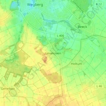
Name: Uevekoven topographic map, elevation, terrain.
Average elevation: 249 ft
Minimum elevation: 197 ft
Maximum elevation: 295 ft
Make a donation
Gear up for your next adventure:
As an Amazon Associate, this site earns from qualifying purchases at no extra cost to you.