Geolocate

Moonanakuzhy topographic map

Click on the map to display elevation.

About this map

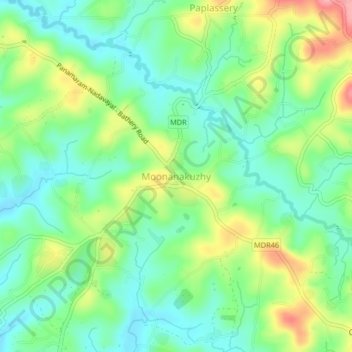
Name: Moonanakuzhy topographic map, elevation, terrain.

Location: Moonanakuzhy, Sulthanbathery, Wayanad, Kerala, 673591, India (11.67987 76.16487 11.71987 76.20487)

Average elevation: 2,572 ft

Minimum elevation: 2,444 ft

Maximum elevation: 2,808 ft

Gear up for your next adventure:

🎒Hydration Pack - Hands‑free water reservoir for long hikes
📡GPS Antenna Upgrade - Enhance GPS reception in remote terrain
🔊Portable Camp Speaker - Music and alerts at camp
🥄Camping Utensil Set - Lightweight utensils for outdoor meals
🧣Merino Neck Gaiters - Multi-functional headwear for wind and sun protection

As an Amazon Associate, this site earns from qualifying purchases at no extra cost to you.