
Indiantown topographic map
Click on the map to display elevation.
Indiantown
Indiantown was originally established by the Seminole people as a trading post. Tribes fleeing southwards from the U.S. Army after the First Seminole War found the area an attractive place to settle due to a relatively higher elevation and ample hunting and fishing spots. It was then settled by white American migrants in the 1890s.
About this map
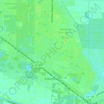
Name: Indiantown topographic map, elevation, terrain.
Location: Indiantown, Martin County, Florida, United States (27.01212 -80.49477 27.07483 -80.44188)
Average elevation: 36 ft
Minimum elevation: 16 ft
Maximum elevation: 66 ft
Martin County trails, hiking, mountain biking, running and outdoor activities