Geolocate

Bengal topographic map

Click on the map to display elevation.

About this map

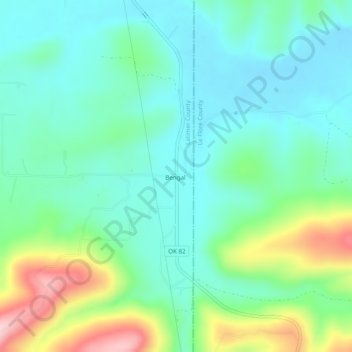
Name: Bengal topographic map, elevation, terrain.

Location: Bengal, Latimer County, Oklahoma, United States (34.81277 -95.08205 34.85277 -95.04205)

Average elevation: 791 ft

Minimum elevation: 600 ft

Maximum elevation: 1,309 ft

Other topographic maps

Click on a map to view its topography, its elevation and its terrain.

Wilburton

United States > Oklahoma > Latimer County

Average elevation: 679 ft

Wilburton

United States > Oklahoma > Latimer County

Average elevation: 679 ft

Gear up for your next adventure:

🧭Outdoor Navigation Book - Learn advanced navigation skills
🦺Reflective Outdoor Gear - Safety gear for low‑light conditions
🗻Climbing Gear Basics - Essential gear for beginner climbers
🛠️Outdoor Gear Repair Kit - Essential tools to fix gear on the trail
🪑Ultralight Camp Chairs - Portable seating for resting after a long day of mapping

As an Amazon Associate, this site earns from qualifying purchases at no extra cost to you.