Geolocate

Sitheri topographic map

Click on the map to display elevation.

About this map

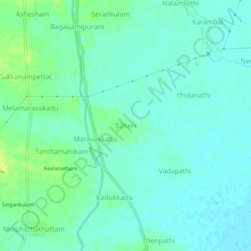
Name: Sitheri topographic map, elevation, terrain.

Location: Sitheri, Mannargudi, Thiruvarur, Tamil Nadu, 614001, India (10.60912 79.45174 10.64912 79.49174)

Average elevation: 46 ft

Minimum elevation: 26 ft

Maximum elevation: 79 ft

Gear up for your next adventure:

📚USA Hiking Guide Books - Top trail guides and map books
📱Heavy-Duty Phone Cases - Drop-proof and waterproof protection for outdoor navigation
🧷Carabiner Set - Durable clips for gear attachment
🔭Compact Binoculars - HD vision for scouting terrain and identifying distant landmarks
🥾Men's Hiking Boots - Durable, waterproof footwear for rugged terrain and steep inclines

As an Amazon Associate, this site earns from qualifying purchases at no extra cost to you.