
Unterer See topographic map
Click on the map to display elevation.
About this map
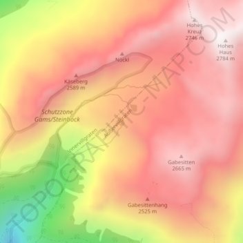
Name: Unterer See topographic map, elevation, terrain.
Location: Unterer See, Außervillgraten, Bezirk Lienz, 9931, Austria (46.82240 12.41367 46.82347 12.41472)
Average elevation: 7,802 ft
Minimum elevation: 5,466 ft
Maximum elevation: 9,026 ft