
庙沟 topographic map
Interactive map
Click on the map to display elevation.
About this map
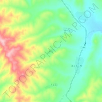
Name: 庙沟 topographic map, elevation, terrain.
Location: 庙沟, 朝阳市, 辽宁省, 中国 (41.55617 120.79494 41.59617 120.83494)
Average elevation: 1,027 ft
Minimum elevation: 768 ft
Maximum elevation: 1,437 ft
Other topographic maps
Click on a map to view its topography, its elevation and its terrain.