
Island topographic map
Click on the map to display elevation.
About this map
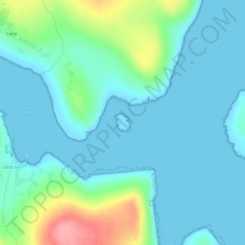
Name: Island topographic map, elevation, terrain.
Location: Island, Yell, Mid Yell, Shetland, Scotland, United Kingdom (60.60143 -1.03904 60.60325 -1.03596)
Average elevation: 66 ft
Minimum elevation: -10 ft
Maximum elevation: 331 ft