
Pantanedo topographic map
Click on the map to display elevation.
About this map
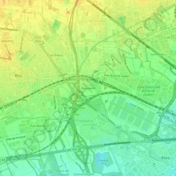
Name: Pantanedo topographic map, elevation, terrain.
Location: Pantanedo, Mazzo, Rho, Milan, Lombardy, 20017, Italy (45.50605 9.04421 45.54605 9.08421)
Average elevation: 502 ft
Minimum elevation: 449 ft
Maximum elevation: 554 ft